CONSERVE AND PROTECT
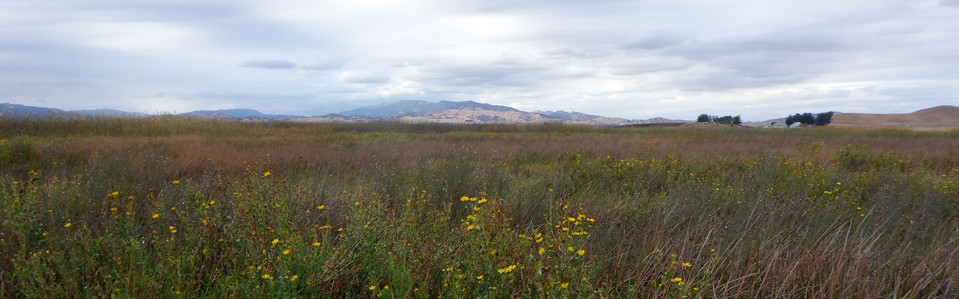
A core mission of the National Reserve System is to protect and conserve the more than 1.3 million acres of coastal and estuarine habitat within Reserves and to facilitate improved stewardship of coastal habitats outside Reserve boundaries.
STEWARDSHIP GOALS
The fundamental goal of stewardship is to ensure the long-term viability and resiliency of natural and cultural resources through restoration, conservation, and maintenance of reserve resources and ecosystems. More broadly, stewardship involves activities associated with responsible ecosystems management based on adaptive science-based strategies. These goals are accomplished through assessments, direct protection of land resources, science and technical assistance, and community engagement. Because of the diversity of stewardship needs within the NERR system, stewardship goals and activities vary across the 29 reserve system.
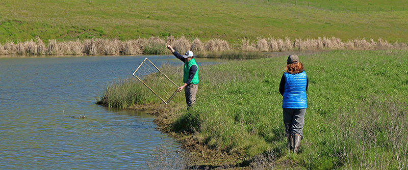
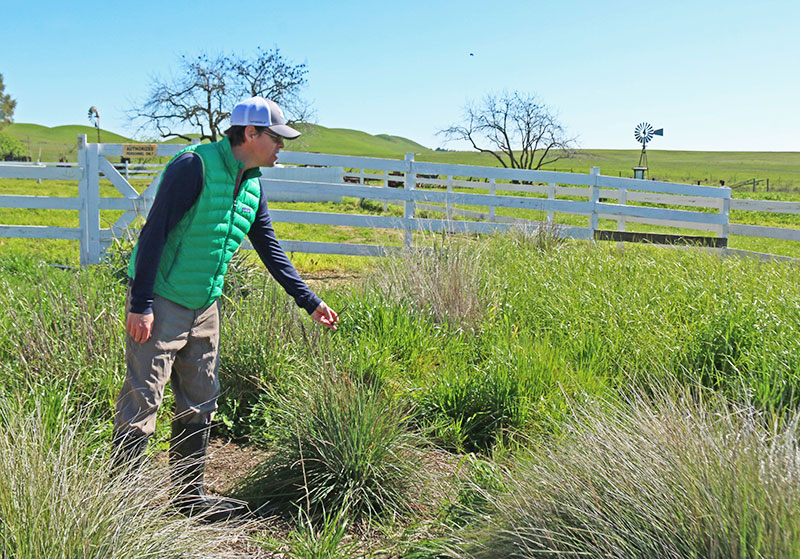
STEWARDSHIP ACTIVITIES
- Development of natural resource and management plans
- Biological monitoring
- Invasive species management
- Public outreach
- Habitat restoration
- Applied research
- GIS habitat mapping and remote sensing
STEWARDSHIP STRATEGIES
The stewardship program plans for and responds directly to environmental stressors within and around reserve sites by providing information, resources, and adaptive management strategies that account for land-use changes, climate change impacts, and ecological trends at the regional and national scale. Land management strategies, including the development and application of applied scientific activities, are integrated through the Stewardship Program to account for ecological stressors. Mitigation strategies are implemented when necessary, which may include several approaches ranging from habitat restoration to potential land acquisition strategies.
Restoration of Lower Spring Branch Creek
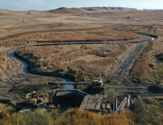
Restoration of Lower Spring Branch Creek
The Lower Spring Branch Creek restoration project in Rush Ranch has been recently completed. This restoration reconnects the creek with First Mallard Slough and facilitates habitat development for a wide range of plants and wildlife, provides climate change mitigation and adaptation, and improves public access. View Restoration Project Update (May 2020).
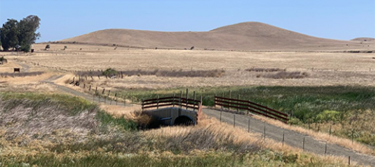
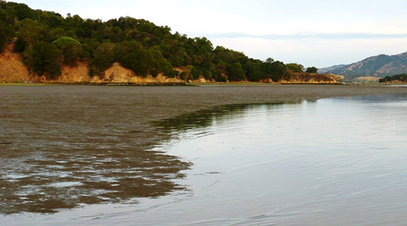
Adaptation at China Camp State Park
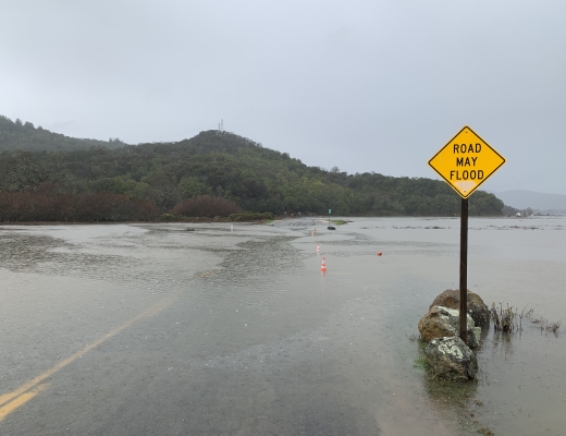
Adapting the Marshlands and Low-Lying Road to Rising Sea Levels
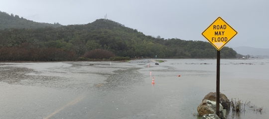
China Camp State Park is one of the few remaining ecologically intact bay-wetland-upland landscapes of the San Francisco Estuary. Dissected by a road built in the late 19th century, the marshlands interior of the road experience reduced tidal connectivity and less bay sediment supply, thus limiting their ability to move upslope with rising sea levels, inhibiting marsh migration and resilience to sea level rise, and altering their ecological functions. The road is low-lying and for years has flooded during extreme winter tides and from local watershed runoff during larger storms. With rising sea levels and increased intensities of storm events, this flooding will increase in frequency and flood deeper and for longer each time. The road serves as the sole vehicle access to the State Park and all its recreational, educational, scientific, and cultural uses and its natural resources, it serves as an evacuation and emergency responders route, it is a commute corridor, and it is the alternate route for north-south regional travel when the local freeway and its frontage road become traffic-clogged.
The SF Bay NERR has been leading a collaborative effort for several years with State Parks, Marin County, and the community to identify possible strategies to address the road flooding and ecological resilience challenges. To learn more about these efforts, please visit:
1) NERRS Science Collaborative Project: Developing Initial Remedy Concepts, https://nerrssciencecollaborative.org/project/Siegel18
2) NERRS Science Collaborative Project: Assessing Feasibility of Different Remedy Concepts, https://nerrssciencecollaborative.org/project/Siegel21